Cold front arriving in Serbia: Drastic drop in temperatures, HERE's when rain will turn into snow
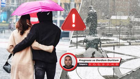
The beginning of this week will bring stable and dry weather to Serbia, with cold and foggy mornings, along with frost, while during the day, alternating sunny and cloudy spells are expected.
However, a complete change in the weather will follow soon.
This will be brought about by a very strong cyclone, which will move over northern and central Europe in the coming days.
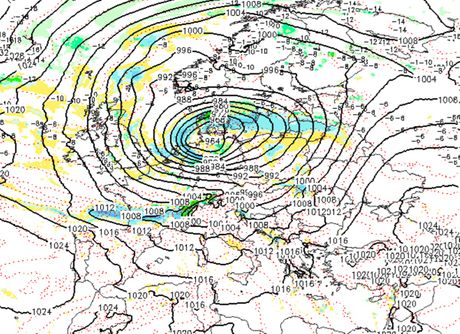
It will first bring relatively warmer air mass to Serbia, along with southerly currents and strong southerly winds, especially in the mountains and in the Kosava region.
Daily highs will range from 10° Celsius in the north of the province of Vojvodina to 18°C in the southeast of the country, up to 15°C in Belgrade.
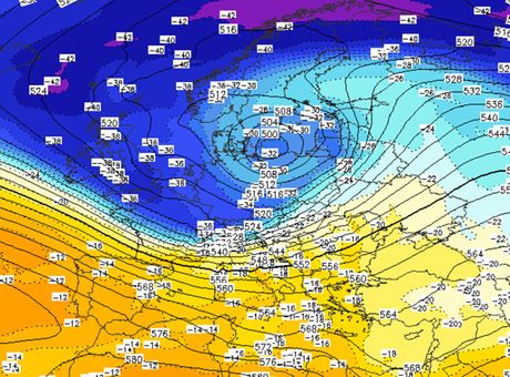
Cloudy and rainy weather is expected.
As the center of the cyclone moves further to the east, a very cold air mass will penetrate from the northwest and the current will also turn north.
Rain will turn into snow first on the mountains, and during the evening and night and on Thursday morning in some places in the lower areas as well.
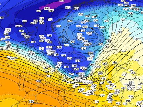
On Thursday, day the wind will weaken during the day and will very soon turn to the south, which will be an introduction to a new change in weather, under the influence of a new cyclone.
This powerful cyclone will bring very heavy and abundant precipitation to Serbia already in the night before Friday and during Friday, along with stormy southerly winds, which will again be the strongest on the mountains and in the Kosava area, with gusts of 80 to 100 km/h.
As the cyclone moves further east, a cold front will enter, but also a cold air mass, with the wind turning to a strong northwesterly, before weakening.
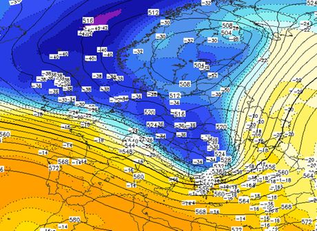
More snow is expected on hills and mountains, while some snow cover will also form in the lower areas.
Given that unfavorable weather conditions are expected next week, and there will also be stormy gusts of wind, citizens are advised to regularly follow information from the competent services and act in accordance with their announcements.
On Friday, towards the end of the day, the weather will stabilize, so the next weekend will be dry, with fog in the morning and moderate to severe frost. It will be chilly during daytime, and then temperatures will gradually rise next week.
Temperatures will oscillate considerably next week, and frequent precipitation is expected under the influence of the cyclone.
(Telegraf.rs)
Video: Dušku iz sela Metaljka migranti uništili domaćinstvo, meštani potpuno nemoćni i u strahu
Telegraf.rs zadržava sva prava nad sadržajem. Za preuzimanje sadržaja pogledajte uputstva na stranici Uslovi korišćenja.

